


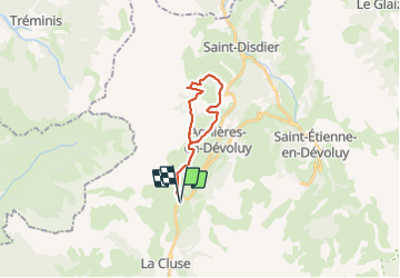

8.5 km | 15.9 km-effort


Les Hautes Alpes à découvrir ! GUIDE+


FREE GPS app for hiking
 SityTrail
IGN / Geographical institutes
SityTrail World
The world is yours!
Trail Mountain bike of 18.8 km to be discovered at Provence-Alpes-Côte d'Azur, Hautes-Alpes, Le Dévoluy. This trail is proposed by Camping Les Rives du Lac.
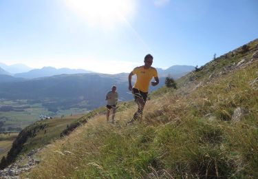
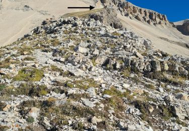
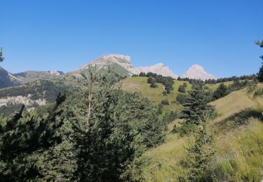
Randonnée très roulante et peu technique avec de belles vues sur le Dévoluy.

Walking

Walking

Walking

Walking
Running

Mountain bike

Walking
Walking
Walking